
Monday, 12 January, 2026г.


Где искать: по сайтам Запорожской области, статьи, видео ролики
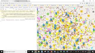
пример: покупка автомобиля в Запорожье
Working with PostGIS data in Leaflet: Part 3
 У вашего броузера проблема в совместимости с HTML5
This 3-part mini-course is my attempt to explain the basic concepts of working with PostGIS data from within the Leaflet.js mapping API. This involves standard web-development methods that have stood the test of time to translate between PostGIS tables and GeoJSON which Leaflet can display. More information at https://wp.me/p8BMpS-86
Похожие видео

Мой аккаунт