
Monday, 12 January, 2026г.


Где искать: по сайтам Запорожской области, статьи, видео ролики
пример: покупка автомобиля в Запорожье
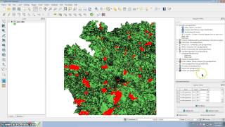
PostGIS Databases and Geoprocessing
 У вашего броузера проблема в совместимости с HTML5
This training was given during the National Flood Interoperability Experiment and demonstrates how to create spatially-enabled databases and perform geoprocessing tasks using PostGIS. Topics covered include both Persistent Stores APIs, mapping with Template Gizmos, SQLAlchemy, GeoAlchemy, PostgreSQL, and PostGIS.
Теги:
Databases Geoprocessing SQLAlchemy GeoAlchemy PostgreSQL PostGIS (Software) PostgreSQL (Software) Persistent Stores APIs MapView Gizmo NFIE
Похожие видео
Мой аккаунт